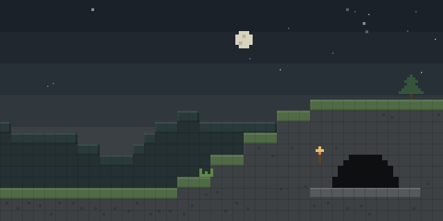

StarNav:Celestial Navigation
by shkuraslav
StarNav:Celestial Navigation replaces coordinate-based movement with six in-game tools that let players find their location from the sky, the sun and the land.
What it does
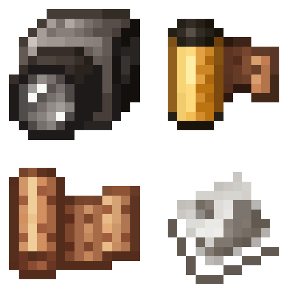
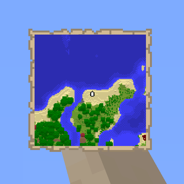
Players set out without the usual coordinate display. Instead they use a Sextant to measure altitude against the polar point in the sky and work out the Z coordinate, a Chronometer to find the reference time and derive the X coordinate, and an Astrolabe, the cheapest and fastest tool, which gives the least accurate result. A Mariner's Compass shows the cardinal directions, a Sundial gives local time by day, and a Hand-Drawn map lets players mark rivers, forests and open fields to build a picture of the land around them.
The mod is built for hardcore survival worlds, where getting lost is part of the challenge. The Sundial is only useful in daylight, so at night it is of no help. Because the mod changes navigation as a whole, players no longer need the F3 screen. StarNav:Celestial Navigation is published for NeoForge only, for 1.21.1, and runs on client and server, so the server and every player need it. It is released under the MIT License and is not open source.
Key features
Sextant altitude reading
The Sextant measures altitude against the polar point in the sky and derives the Z coordinate of the player's position.
Chronometer X reading
The Chronometer finds the reference time and uses it to calculate the X coordinate.
Astrolabe fallback
The Astrolabe is the cheapest and fastest tool for locating a position, at the cost of the least accurate reading.
Hand-drawn map
Players draw their own map, marking rivers, forests and fields to build a sense of the area around them.
Gallery
Compatibility
Latest build for each game version and loader.
Only full game releases are shown. This mod publishes no snapshot builds.
Use cases
Hardcore survival
Players who want navigation to depend on skill rather than a coordinate readout can rely on the six tools instead.
Who it’s for: Players who want a navigation system built around the sky, the sun and hand-drawn maps, and server owners who run hardcore worlds.
How it compares
Compass Plus Waypoints is client-side only and published under the MIT License for NeoForge 1.21.1, so it adds a waypoint display without changing navigation on the server. Create: Guidance Compass is client and server and released under All rights reserved, so it has to be installed on both sides like StarNav:Celestial Navigation. MrDeadPools Simple GPS with Navigation is also client and server, with All rights reserved licensing, and is not open source.
| Mod | Loaders | Game versions | Environment | Updated |
|---|---|---|---|---|
| StarNav:Celestial Navigation | NeoForge | 1.21.1 | Client and server | 2026-07-25 |
| Compass Plus Waypoints | NeoForge | 1.21.1 | Client-side only | 2026-08-09 |
| Create: Guidance Compass | NeoForge | 1.21.1 | Client and server | 2026-07-12 |
| MrDeadPools Simple GPS with Navigation | NeoForge | 1.21.1 | Client and server | 2026-05-23 |
Questions
Does StarNav:Celestial Navigation need a specific loader?
Does the server need StarNav:Celestial Navigation?
Does the F3 screen still work with the mod installed?
In the catalog
StarNav:Celestial Navigation is one of 19,031 Adventure mods on ModsFinder, and one of 8,588 Adventure mods for NeoForge. 32,366 mods support Minecraft 1.21.1.
Similar mods




What the author says
StarNav:Celestial Navigation — is a mod that completely changes the navigation system. There are no coordinates anymore you don't even need to look for them in F3. Now you have a total of 6 tools to determine your location. ## Tools - Sextant — Measure the altitude of the North Star to calculate the Z coordinate
Official listing
- Modrinth page
- modrinth.com/mod/starnavcelestial-navigation
- Owner
- shkuraslav
- Published
- 2026-07-04
- Updated on Modrinth
- 2026-07-25
- Facts verified
- 2026-10-15